お気軽にご相談ください!見積もり無料!お庭・お庭周りのお困りごと解決します!
0299-58-6202
自分でDEKIRUMON
自宅でDIYやガーデニングをしたい方へ向けて模擬展示場や、施工作業中の動画を掲載予定です。
お庭119相談室
石の油屋公式LINEアカウントから、ビデオ通話で実際の商品を確認していただけます!
その他お問い合わせやガーデニングのご相談などお気軽にご連絡ください♪
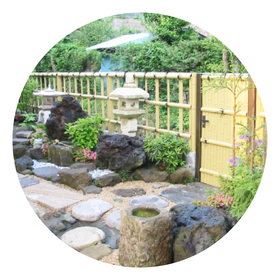
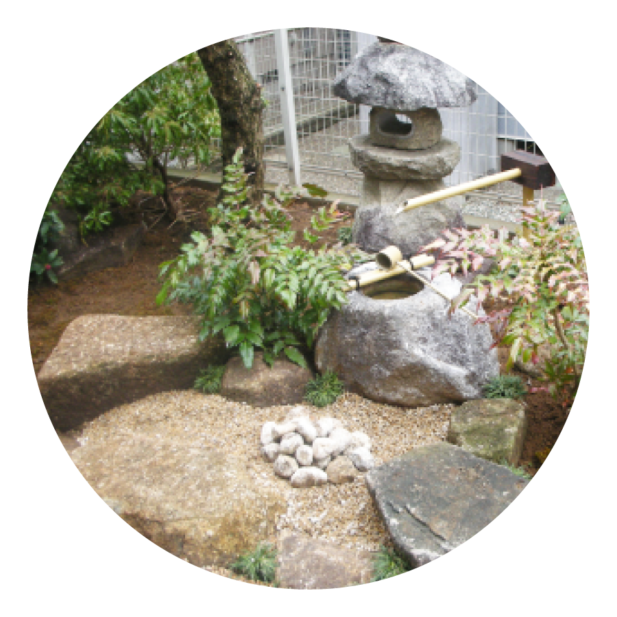
施工事例

様々なご要望に
お応えいたします!
こちらに掲載のない事でも
一度ご相談下さい。
化粧砂利、砕石等のご注文もお受け致します。
是非、実績十分の油屋へ!
| ● 造園土木業ー庭園づくり、伐採、伐根、土木造成、重機 | ● 庭石業ー全国庭石工事設計、施工、及び卸売業 |
| ● エクステリア業ーブロックフェンス、コンクリート打設 他 | ● 樹木業ー植栽から管理施工、及び注文販売 |
| ● 石工事業ー墓石、堀石、国内外石材設計、施工、及び卸業 | ● その他ー砕石、化粧砂利、砂、土等販売 他 |
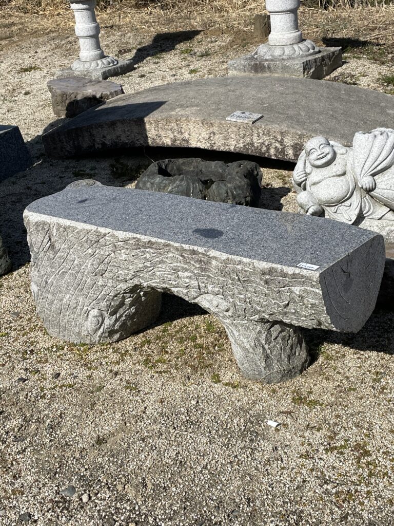
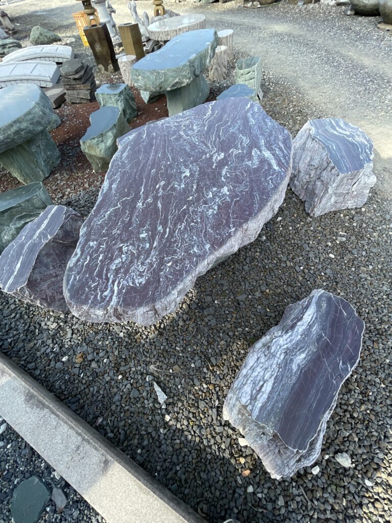
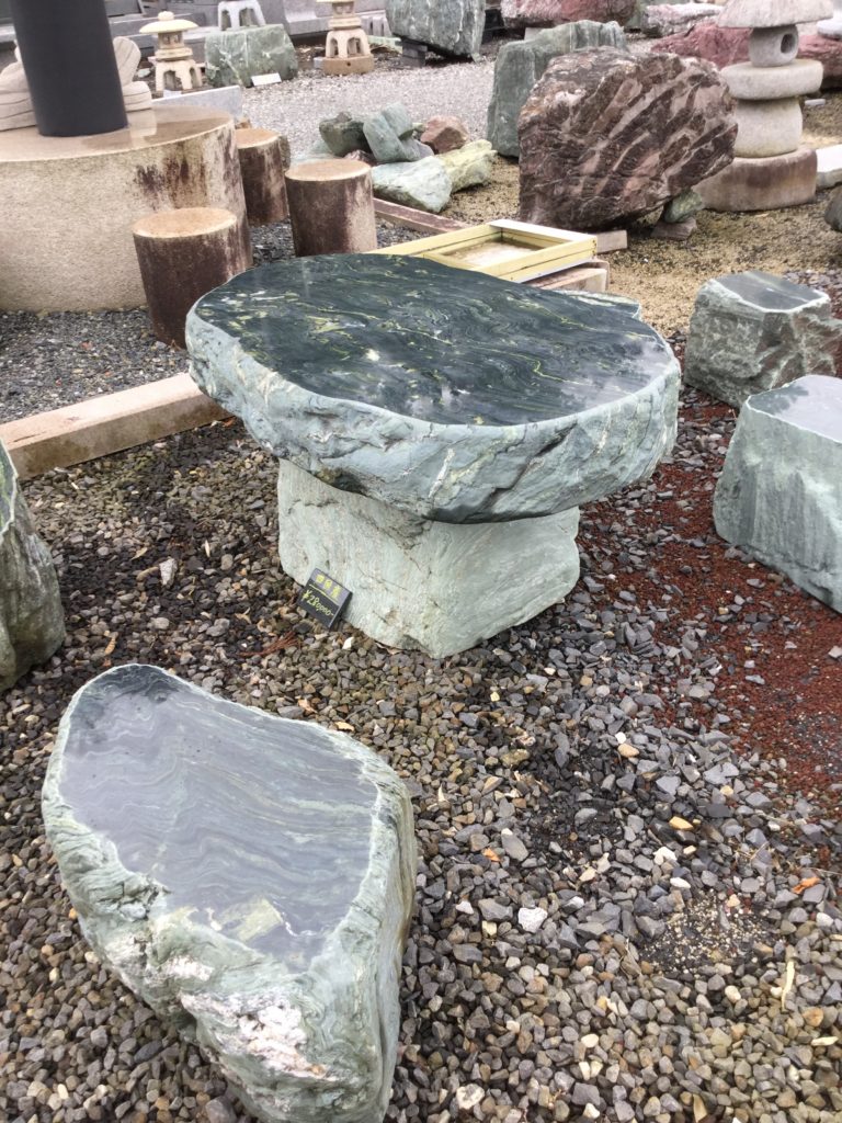
展示品の紹介
約1,000坪の大展示場ございます!遠方の配送、工事などの実績も豊富です!
オンラインのご注文、LINEビデオ通話にてご案内も可能です!